
Southfield Neighbors by Block Source
Public sources around a Southfield address answer different parts of a neighbor question. The parcel map establishes which properties are adjacent. A deed supplies a dated ownership trail. Permit material may show when a project or inspection occurred. Voter data is governed by Michigan's public-record and redaction rules, while neighborhood resources identify civic areas rather than their complete member lists. Use the official source closest to the fact being checked, and keep ownership, association geography, and present occupancy as separate ideas.
| Source | What It Shows About a Block | Access |
|---|---|---|
| Oakland County Property Gateway | Parcel adjacency, PIN, address, and map layers | Online click-and-pan search; reports may be fee-based. |
| Oakland County deeds | Current or prior parcel owner and legal continuity | Online from 1964 to current; older records at the counter. |
| Southfield permits | Public project, inspection timing, and listed applicants when available | BS&A, city request, or FOIA; live result fields were not located. |
| Qualified Voter File request | Registered voters in a defined jurisdiction or precinct with redactions | Official form and FOIA process; not ordinary map browsing. |
| Neighborhood Information Center map | Association areas and active or inactive labels | Official PDF; confirm current status with the center. |
| Southfield Public Library | Directories, newspapers, yearbooks, and genealogy databases | Reference desk, library card access, or in-library terminal. |
| Cemetery and church history | Interments and community history clues | City Park Services, library, or historical-society route. |
Property information can identify a parcel owner, not every person connected to the address. A block association can show the area's civic name without proving who belongs to it. Keep each Southfield neighbors result at the level the source actually supports.
Mapping Southfield Neighbors From a Parcel
The reliable Southfield neighbors method starts by preserving parcel facts before personal names. Property Gateway accepts a street address or county PIN. Its map can be panned and clicked to inspect parcels that touch or sit close to the target. The official material supports parcel, elevation, floodplain, school, and tax-map context. No official source located a confirmed current buffer or radius control, so do not assume that the live map can draw a fixed circle around the address.
- Find the target Southfield address in Property Gateway and verify the parcel outline, situs address, and PIN. The PIN is the county parcel identifier and is more stable than a street number.
- Pan the map and click each adjacent or nearby parcel. Record the neighboring PINs and situs addresses before collecting an owner name.
- Open the report for one parcel at a time, then use the PIN or legal description in the deed route. A legal description identifies land by lot, block, subdivision, or another recorded form.
- Compare the current owner field with the latest deed's grantee and date. For an older transfer, use the Register of Deeds counter or Tract Index rather than guessing from a missing street number.
For a whole named road instead of the immediate block, the Southfield street directory follows the longer address, deed, permit, and historical-directory chain.
Southfield Neighbors Through Deeds and Permits
Once the parcels around a Southfield address are known, the Oakland County Clerk/Register of Deeds can supply the dated land trail. The Super Index provides searchable documents and images from January 1, 1964. Earlier land material, including manual tract and grantor-grantee work, remains an office fallback. A deed can show a grantor, grantee, recording date, and legal description. It does not prove every person who may be present at the address on a later date.
Southfield Building and Planning departments use BS&A for permit applications and inspection requests, as well as site-plan, fence, tree, zoning-letter, rezoning, special-land-use, and street or alley-vacation processes. The research did not expose a complete live public result screen or historical cutoff. A precise FOIA request should identify the address, permit type, and date range. That is more useful than asking for an undefined block file.
Southfield Neighbors and Voter Boundaries
Michigan.gov/Vote is for an individual's voter status and local election information. It does not publish a street-by-street roster for Southfield neighbors. The Qualified Voter File is maintained by the Secretary of State, county clerks, and municipal clerks. A request must use the official form and select one defined geography, such as a jurisdiction, county, district, school, village, or ward and precinct. A request for a broad area is not the same as a public map search.
When lawfully requested, QVF data can include a complete name, residential address, mailing address when available, year of birth, registration date, voter status, voter ID, and voter history. It does not disclose ballot choices. MCL 168.509gg requires redaction of phone, email, digitized signature, driver's-license or state-ID number, month and day of birth, last four Social Security digits, application-source office, and refusal-to-register information. ACP voter applications are confidential.
Southfield Neighborhood Information Center
The Neighborhood Information Center is Southfield's community-directory layer. It is in the City Hall main lobby, open weekdays from 8 a.m. to 5 p.m., at 248-796-5140. The center maintains contact with more than 75 neighborhood associations and 50 condominium groups. It helps reactivate dormant groups and can arrange mailings, rooms, workshops, and block parties. Its Neighborhood Focus publication adds another local civic route. An association area is useful context, but the center's resources are not a public membership list.
The official Neighborhood Information Center page identifies the City Hall service point for Southfield neighbors.
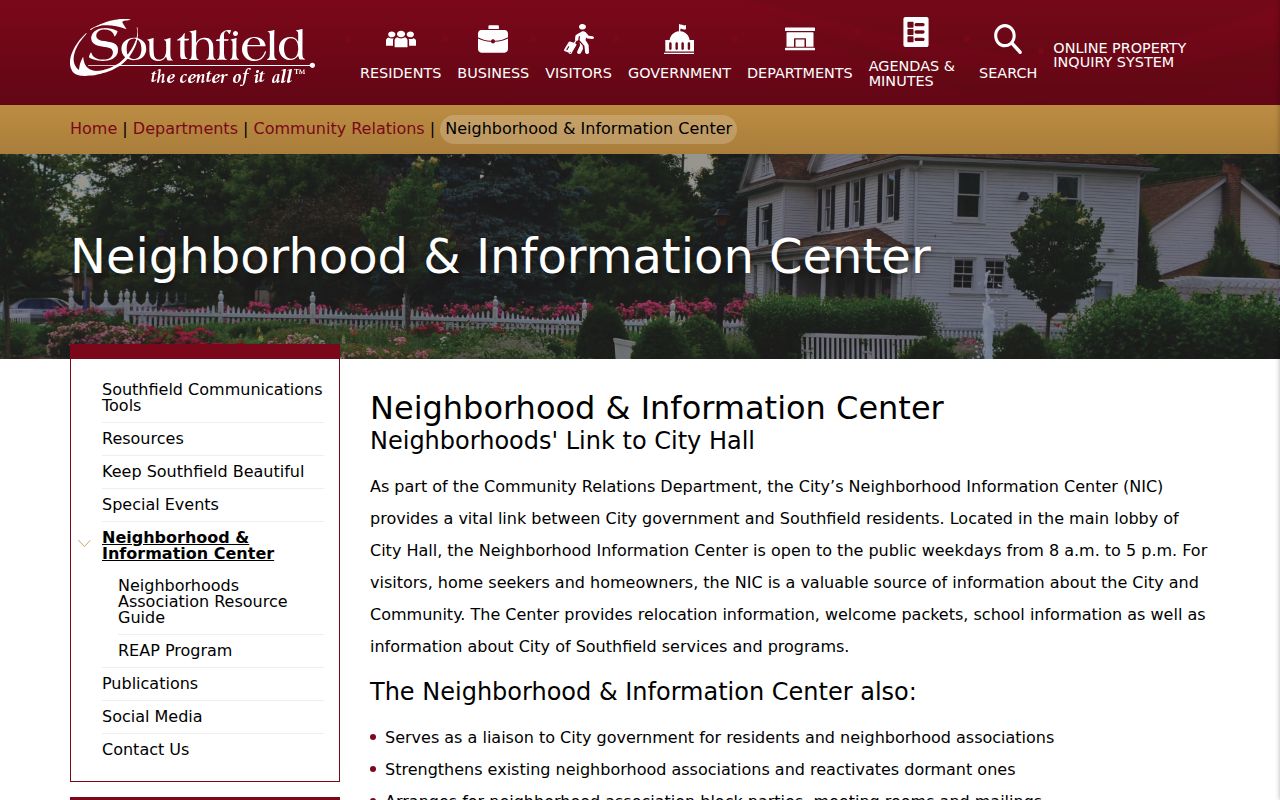
The screen connects the block question to the city office that can confirm a current association contact or explain whether a group needs reactivation.
Beacon Square Civic Association
Named on the city's association map. Confirm the present contact and status through the Neighborhood Information Center.
Cranbrook Village Associations
Map listings place Cranbrook Village in section 11. The association name identifies an area, not an individual roster.
Oakland Village Civic Association
Shown across sections 19, 20, 29, and 30 in the official map material. Ask the center to verify current information.
Ravines Civic Association
One of the groups named in the map. A current association contact should come from the center rather than an old copy.
Southfield Neighbors Association Map
The city map helps identify the civic geography around an address. It was last edited February 14, 2014 and marks some neighborhood and condominium groups as active or inactive. Its value is the area name and section placement, not a current contact book. Other sampled map names include Bedford Woods Association, Beechwood Acres, Bonnie Acres, Burgh Pointe, Evergreen Woods Improvement Association, Southfield Gardens, Southfield Hills Estates, Stonycroft Improvement Association, Washington Heights, and Woodland Civic Association. The condominium list also includes groups such as Balmoral Club, Chanticleer, Cumberland Village, Evergreen Meadows, Golf Pointe, and King's Crossing.
The Neighborhood Association Resource Guide provides the official context for the association map and its voluntary civic role.
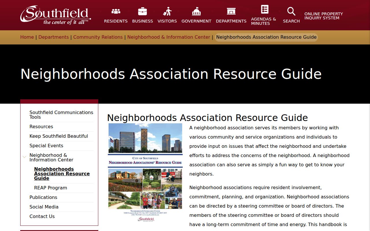
Use the guide to understand how a voluntary association works with city government, then confirm a current group contact with the Neighborhood Information Center.
Southfield Neighbors at 48076
A Southfield neighbors search can cross a postal boundary. ZIP code 48076 uses a Lathrup Village and Southfield postal label area, but Lathrup Village is a separate municipality within the Southfield area. A postal city label is for delivery, not proof that a parcel lies in the Southfield municipal boundary. Record the county PIN and municipality field with the address, then use USPS by-address lookup for delivery information. This check prevents a block result from being assigned to the wrong city simply because a postal label looks familiar.
Use the exact street address when checking 48076 through USPS, then compare the result with the county parcel's municipality field. This keeps postal service geography and local government geography in their proper roles.
Southfield Neighbor Source Comparison
Official records and commercial neighbor tools do not carry the same weight. A commercial tool may combine parcel, directory, marketing, and public-record data. That can be stale or can merge people with the same name. It may also separate a record from the date and custodian that give it meaning. For a Southfield block question, keep the county parcel and deed record as the verification source and use city community resources to identify an association area.
| Official source | Commercial neighbor tool category | How to use the result |
|---|---|---|
| Property Gateway and county deeds | Compiled parcel and directory data | Use the official PIN, legal description, and recorded date to verify a parcel claim. |
| QVF request under Michigan rules | Combined contact or address data | Use only the permitted, redacted official production for a defined geography. |
| Neighborhood Information Center | Unverified association or community listings | Confirm current association status and contacts with the city office. |
A tool can supply a lead, but the dated county record or city office should settle the Southfield neighbor fact. That extra check protects against stale entries and same-name mix-ups.
Southfield Neighbor Lookup Privacy
Some block facts remain private or restricted. Public parcel data does not list every household member. Unregistered voters, utility customers, delivery recipients, protected residents, sealed case parties, and driver-record addresses are not an ordinary neighbor source. Michigan's Address Confidentiality Program gives qualifying participants a designated address and mail forwarding, and ACP voter applications are not released through FOIA. A valid question about a parcel still does not remove these protections.
For a missing official item, use the right fallback: the Property Gateway map and county land counter for parcel history, Southfield's permit or FOIA route for a defined public project, the QVF form for a defined voter geography, the Neighborhood Information Center for association status, and the library reference desk for historical material. Ask a custodian to correct its own record if it is wrong.
Lawful use. Use Southfield neighbor records for personal research, civic questions, and scam verification. Stalking, harassing, or harming a person is prohibited.